The day starts with a short drive to the Lightening Ridge thermal baths for a very warm dip. It is a popular spot in the cool of the dawn, the warm waters of the artesian basin are most welcome. It’s then breakfast and a quick visit to the very busy information centre then onto Goodooga following the black soil track to Weilmoringle, and into Culgoa National Park.
A grader is busy reforming the track as there had been floodwaters in this area some weeks ago. Camp is setup quickly, we love our mobile home setup, it takes only minutes to organise.
There are plenty of birds here even though this stretch of the Culgoa River is quite low. The area is significant to indigenous people.
We take the short walk from the campground down to the river, it is largely dry here. This is surprising since it wasn’t too long ago that the Balonne River was in major flow and this park was closed due to the flood waters.
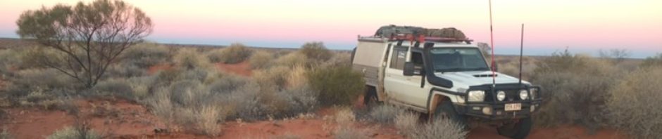
Dinner is under the stars. Owlet Nightjars are calling and micro bats are out amongst the scrub. We are able to report our position via a VHF signal to the International Space Station who provide a free receiver for APRS signals, technology, it’s wonderful to have.
Automatic Packet Reporting System (APRS) is an amateur radio-based system for real time digital communications of information of immediate value in the local area.[1] Data can include object Global Positioning System (GPS) coordinates, weather station telemetry, text messages, announcements, queries, and other telemetry. APRS data can be displayed on a map, which can show stations, objects, tracks of moving objects, weather stations, search and rescue data, and direction finding data. Source Wikipedia.


